
Drone Videos That Reveal the Scale, Setting and Movement of Your Story
Show your audience the bigger picture
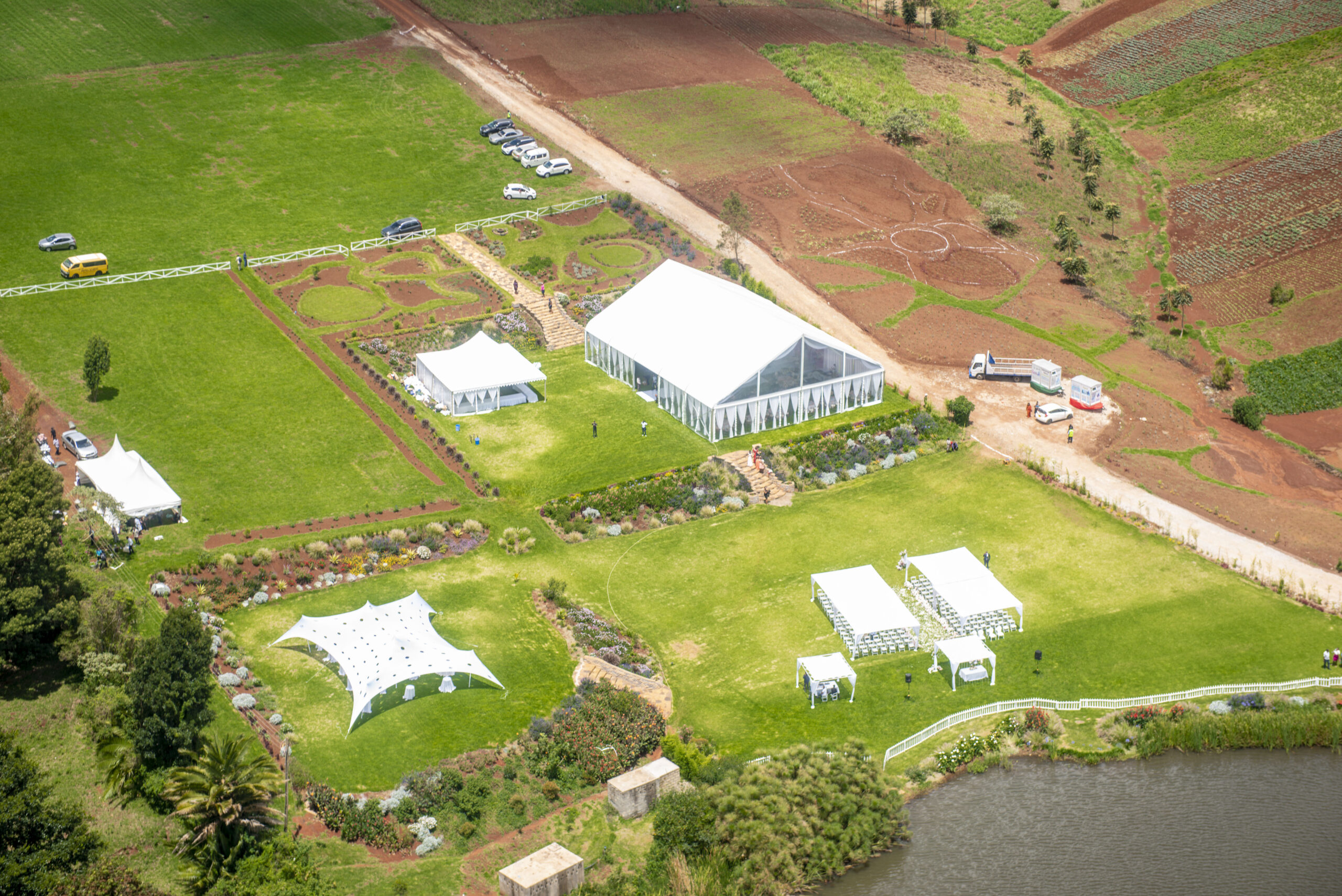
Some places and stories make sense only when viewers can see how the pieces connect. An aerial sequence can reveal a property’s setting, follow a road into a destination, show the scale of a development or give an event film a memorable sense of place.
Shammah Media provides drone video production for property, hospitality, construction, corporate, documentary and approved event projects in Nairobi and across Kenya. Aerial footage can be supplied as part of a wider production or as selected clips for an agreed film.
Every request begins with the exact location and purpose of the shot. We assess the proposed date, site, airspace, current aviation requirements, operator arrangement, weather, people and surroundings before confirming aerial coverage. Flight availability is never assumed simply because a location is outdoors.
Drone video for places, progress and memorable stories

Real estate and development videos
Show access roads, neighbouring features, building relationships, grounds and overall scale. Aerial footage works best alongside real estate photography and ground-level video that reveals interiors and details.

Hotels, lodges and destination films
Place a hotel, lodge, resort or approved attraction within its landscape. Aerial movement can help guests understand the approach, views, grounds and relationship between facilities.
Construction progress videos
Record visible change over time from planned viewpoints. Repeat visits can support stakeholder updates and progress films, while remaining distinct from technical survey, measurement or certified inspection services.
Corporate and industrial films
Establish facilities, campuses, farms, warehouses and operations where property, confidentiality and flight requirements allow. The aerial sequence can connect different parts of a larger business story.

Event establishing footage
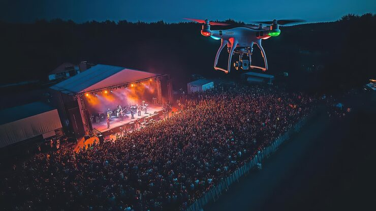
Show an approved venue and setting as part of an event film. Flights near guests, crowds or live activity require specific assessment and may not be appropriate for every programme.
Documentary and tourism sequences
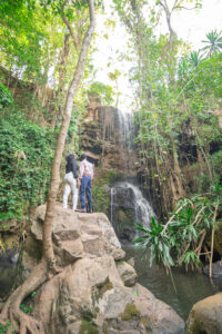
Orient viewers, reveal geographic relationships and follow movement through a landscape. The footage remains connected to the actual subject rather than using a generic aerial view as evidence of a different place or event.
Use aerial footage because it adds meaning
A drone shot should have a job in the finished film. It may establish the location, reveal a building, follow approved movement, show scale or transition between two parts of a story. “Make it cinematic” is not enough to plan a useful sequence.
Describe what the viewer should discover. A slow reveal can move from landscape to property. An approach can guide viewers toward an entrance. A rising view can show how a development sits within its surroundings. A lateral movement can connect related facilities.
We then consider whether the movement is achievable at the site and how it will connect to the ground footage, interview, voice-over or music. If a lawful elevated or ground-based shot serves the same purpose more reliably, it may be the stronger production choice.

What to include in your aerial-video brief
Please send the actual location rather than only a town or venue name. Feasibility can differ significantly between nearby sites.
- Exact map pin and site boundaries
- Story or campaign purpose
- Proposed date and time window
- Property owner and site contact
- Features the aerial footage should reveal
- Preferred movements or reference examples
- People, vehicles or activity in the scene
- Nearby airstrips, airports or sensitive sites known to you
- Terrain, obstacles, power lines and access conditions
- Ground video, interview or photography requirements
- Main film and aerial-clip deliverables
- Required orientations and publication channels
- Privacy, security or confidential areas
- Production deadline and final approver
From location assessment to finished aerial sequence
We clarify the story function, planned movement and place in the edit. This helps determine whether aerial footage is necessary and what alternatives could work.
The exact site, current airspace and aviation requirements, operator, aircraft, permissions, people, obstacles and access are reviewed before flight is confirmed. Kenya Civil Aviation Authority maintains the official UAS regulations and supporting resources used for current checks.
The creative idea becomes a safe movement with a start, finish, subject position, take-off and landing area, ground controls and alternative options.
The authorised contact confirms access and activity. Ground cameras, people, vehicles and site operations are scheduled so everyone understands the plan and who can stop or change it.
The authorised operator makes the final operational decision. Weather, airspace, people, site activity or another safety concern can require a delay, different shot or no flight.
The final videos are delivered in the formats and access route agreed in writing. Project files, source-media organisation or additional archives are supplied only when explicitly included.
A moving aerial shot needs a complete path
Unlike a still photograph, video must remain usable from the beginning of a movement to the end. The camera, subject and surroundings change throughout the shot. Trees, cables, buildings, people and vehicles can affect a route that appeared straightforward in one frame.
We plan movements in clear language: establish the site, rise to reveal the wider area, follow an approved vehicle, move toward a building or connect two visible features. The timing must give the editor enough steady material before and after the main action.
Alternative movements are useful. Wind, changing activity, light or access can make the first idea unavailable even when aerial work remains possible. A production succeeds when the finished film still has a strong visual solution.
Connect aerial and ground footage naturally
Aerial footage shows geography and scale. Ground footage shows people, products, interiors, details and natural sound. Planning them together makes the final film feel coherent rather than interrupted by unrelated drone clips.
An aerial approach may cut to a matching ground movement through the entrance. A wide view of a construction site may lead into workers and visible detail. A destination reveal can be followed by the guest experience at ground level.
When a drone is meant to follow a person or vehicle, the path, communication and participants need prior agreement. Movement should never be improvised with public traffic or people who are not part of the production.
For a complete ground-and-air brand film, begin with our video production service . If you need still aerial images, see drone photography .
Understand why the location determines availability
Nearby airports, airstrips, security-sensitive sites, protected areas, temporary restrictions, crowds, dense obstacles and other factors may affect whether and how a flight can take place. Property-owner permission is important where applicable, but it does not replace aviation and operational requirements.
Footage previously captured at a location does not prove that a new flight is available. The date, airspace, operator arrangement, site activity and current requirements may be different.
When an aerial sequence cannot proceed, the production can consider ground cameras, an approved elevated viewpoint, appropriately licensed stock with accurate context or a revised edit. The correct decision may be not to fly.
Plan around weather, light and continuity
Wind, rain, visibility and local conditions affect both the operation and the image. No supplier can responsibly guarantee an exact sky, light or movement before conditions are assessed on the day.
We identify a preferred time window and a practical contingency. A property film may benefit from light that matches the ground footage. Construction progress may need a repeatable time and viewpoint. A destination project may depend on seasonal site conditions as well as flight feasibility.
Your quotation should state what happens if aerial work is prevented: reschedule the aerial portion, revise the shot, use a ground alternative or adjust the full production schedule.
Protect guests, workers, neighbours and sensitive sites
People seen from the air may include staff, guests, neighbours, event participants or members of the public. Tell us who is intentionally part of the scene and which areas or activities must remain private.
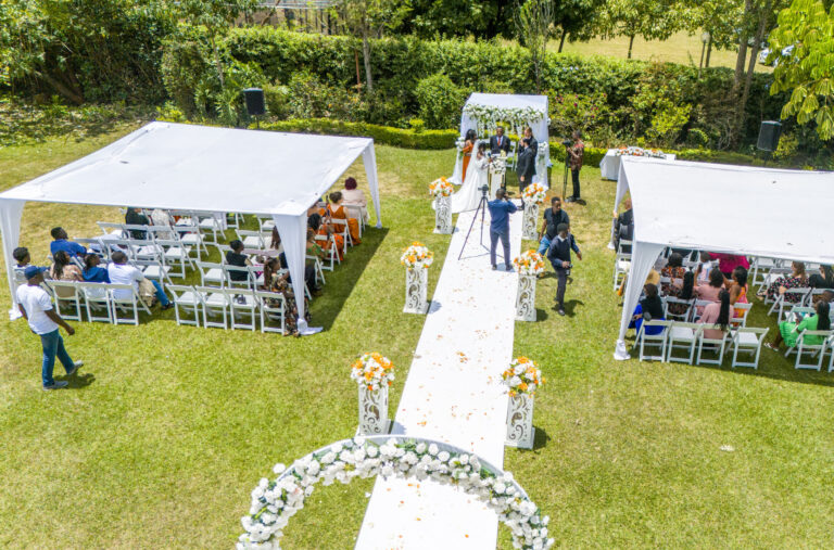
An outdoor wedding, conference, festival or school event does not automatically create a suitable flight environment. Crowd proximity, access routes, emergency movement and the conditions of the proposed operation must be assessed. Non-repeatable event moments should always have a ground-camera plan.
Aerial views may reveal neighbouring homes, vehicle registrations, security layouts, confidential operations or people beyond the commissioned property. Flight paths and editing choices should avoid unnecessary collection and disclosure. Shammah Media does not assume permission to publish client coordinates, layouts or aerial clips in its portfolio.
Know what aerial video can—and cannot—prove
Standard drone footage is a visual production asset. It can document visible conditions on a date and show change from a planned viewpoint. It is not automatically survey-grade mapping, structural inspection, measurement, engineering evidence or a certified technical record.
Construction captions and reports should stay within what the images genuinely show. If your project needs technical aerial data, specialist sensors or qualified conclusions, that requirement should be referred to an appropriately authorised provider.
Editing can stabilise, colour-finish and pace a sequence, but it cannot make misleading or unsuitable footage acceptable. Raw aerial files are not automatically included and may require controlled handling when they contain sensitive material.
Drone video production pricing in Kenya
Pricing depends on the exact site, assessment and permission requirements, travel, operator arrangement, planned sequences, site coordination, ground filming, production schedule, weather contingency, editing and final deliverables.
One short aerial sequence can still require substantial preparation. A multi-location property film, repeated construction visits and a simple establishing shot are different scopes. Compare proposals using the same locations, movements, ground support and output list.
Our current planning terms use a 14-day quotation validity period, a 50% booking deposit and one consolidated review round. Travel outside Nairobi is quoted separately, and digital working files are normally retained for 90 days. Your signed quotation takes priority wherever different terms are agreed.
FAQs
No. Every operation depends on the exact location, current airspace and aviation requirements, operator, aircraft, permissions, site activity, safety and weather.
No. Site authority does not replace the aviation, airspace, operator and operational requirements that apply to the proposed flight.
We can plan the intended movement, but weather, site or operational conditions may require an alternative shot or ground-based solution.
Yes. The teams, timing, movement, site access and final edit should be coordinated as one production.
Only when raw files are explicitly included with transfer, privacy, usage and storage terms.
Ordinary aerial video is not survey, mapping, measurement or certified inspection data.
Yes. We assess drone-video projects across Kenya using the exact site, production purpose, schedule, travel and current operating requirements.
Add an aerial perspective that earns its place in the film
Send Shammah Media the exact location, intended sequence, proposed date, people or vehicles involved and required final formats. We will assess whether the aerial footage can be planned responsibly for your production.